Spatial Projects
The Schiller school wants to renew its schoolyard and wants to involve the whole school in deciding where and what to build.
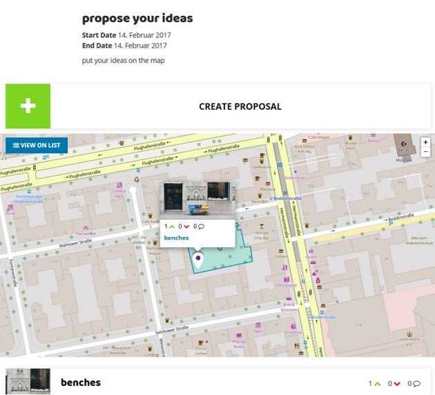
The spatial tool on OPIN makes it possible to use a map to visualize the area of change and add proposals onto the map. So the new ideas can be visible straight away to enhance the decision-making process!
The spatial tool can be used in two different project types:
Spatial brainstorming
In the spatial brainstorming projects users can create and comment on ideas located on a map.
Spatial idea challenge
In the spatial idea challenge projects users can be active in two phases:
1. Phase: create and comment on ideas located on a map.
2. Phase: agree / disagree with those ideas and comments to check out how everyone feels or to decide which idea to put into practice.
Check out our example:

The initiator of the project can decide how many days / weeks each phase is going to last. Afterwards everyone can check out the commented text and see how many users voted for or against each comment.